This year’s Atlantic hurricane season — which has already rocked the Americas and Europe — could have been better handled if the storms and hurricanes it brought could be better predicted.
Fortunately, there are improvements in weather forecasting every year and now France and China have teamed up to launch a joint satellite in Beijing to make predicting the weather more precise and better understand climate change.
Go deeper with GlobalData

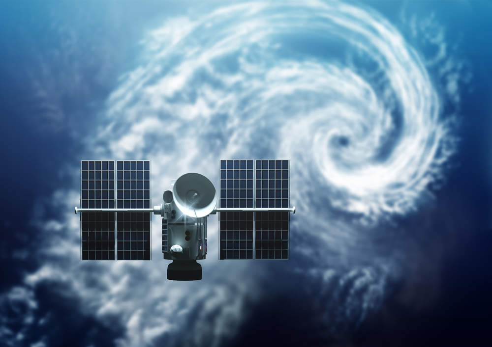
The China-France Oceanography Satellite, CFOSAT for short, will be put into orbit next year, the Centre Nationale d’Etude Spatiales (CNES) has announced.
The satellite, a joint project involving the CNES and the Chinese National Space Administration (CNSA), will monitor wind and waves at the surface of the ocean — which make up 70 percent of the earth’s surface and play a key role in climate, meteorology, the environment.
Philippe Escudier, Oceanography Programme Manager at CNES, said:
Waves are a key parameter to understanding the exchange between the atmosphere and the ocean, which is important in understanding climate change.
How well do you really know your competitors?
Access the most comprehensive Company Profiles on the market, powered by GlobalData. Save hours of research. Gain competitive edge.
 Company Profile – free sample
Thank you!
Your download email will arrive shortly
Not ready to buy yet? Download a free sample
We are confident about the unique quality of our Company Profiles. However, we want you to make the most beneficial decision for your business, so we offer a free sample that you can download by submitting the below form
By GlobalData

The satellite is expected to improve knowledge of surface processes linked to wind and waves, wind and wave forecast for marine meteorology, ocean dynamics modelling, and prediction and our knowledge of climate variability.
The CFOSAT mission will last three years and it will be used in addition to other satellites measuring land surface parameters such as soil moisture and polar ice sheet characteristics.
The CNES said the satellite differs from other as it provides information “not only for the long swells but also for wind waves and mixed sea conditions, whatever the direction of these waves”.
Escudier said:
This is happening in the context of climate change. Greenhouse gases are stored in the oceans and 80 percent of heat produced goes into the oceans. Waves are a key parameter to understanding the exchange between atmosphere and oceans, which is important in understanding climate change
The satellite is made up of two components: Surface waves investigation and monitoring (called the Swim) and a scatterometer — known as the Scat.
The Scat will measure wind intensity and direction.
Escudier said:
The Scat was developed by China’s scientists and is used to measure the wind, a vector wind scatterometer. The geometry used in the scatterometer is different to the classic methodology used in other instruments, giving more precise information about wind speeds.
The Swim, is provided by the CNES and will measure wave properties such as direction and wavelength using six rotating beams.
A spokesperson for CNES said:
The interest of these measures for forecasting storms is three-fold. Firstly, improved wind knowledge and therefore our ability to predict the evolution of storms. Secondly, an improvement of the knowledge of waves. This, combined with the knowledge of wind, will improve our ability to predict the progression of wave height under the effect of storms. Finally, an improvement of wind shift models. This is due to a better understanding of waves, which effect the characteristics of the measured signal.