Google has announced a partnership with US non-profit the Environmental Defence Fund (EDF) to accurately map methane emissions using satellite imagery and AI.
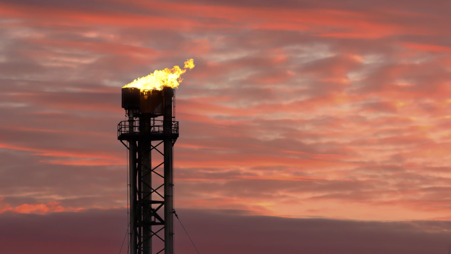
The EDF’s satellite MethaneSAT will be launched in March this year, using a SpaceX Falcon 9 rocket.
Go deeper with GlobalData

Access deeper industry intelligence
Experience unmatched clarity with a single platform that combines unique data, AI, and human expertise.
MethaneSAT will gather imagery during its 15 daily orbits. Using AI modelling and Google Cloud, Google will subsequently monitor these images to map where methane is leaking.
Vice president and general manager of Google’s geo sustainability team, Yael Maguire, stated in a blog post that human sources of methane emissions are responsible for 30% of global warming today.
Whilst methane has a shorter lifespan than CO2, it absorbs more energy whilst in the atmosphere and can have detrimental effects on air quality. Agriculture and the energy sector are the largest sources of human-related methane emissions.
“By powering methane detection algorithms with cloud computing and applying AI to satellite imagery to identify oil and gas infrastructure around the world, our goal is to help EDF quantify and trace methane emissions to their source,” he wrote.
He stated that energy companies, the public sector and climate researchers could use the data gathered by MethaneSAT to reduce emissions more efficiently.
Google’s methane tracking algorithms were developed in collaboration with Harvard University’s School of Engineering and Applied Science and at the Smithsonian Astrophysical Observatory.
Google will also create a publicly available Earth Engine map that will show where methane emissions are present. This map will be made available later this year.
“By making MethaneSAT datasets available on Earth Engine, which has over 100,000 monthly active users, it’s easier for users to detect trends and understand correlations between human activities and environmental impact,” wrote Maguire.
Earth Engine will combine methane datasets alongside information on an area’s regional borders, land cover and ecosystems to provide a detailed idea of how methane emissions have changed in recent times.