
The 7.8 magnitude earthquake which hit Turkey and north-western Syria on February 6 left over 46,000 dead (a number that is expected to rise) and millions homeless in what is the deadliest catastrophe in the modern history of Turkey. A second earthquake with a magnitude of 7.5 struck the region just nine hours later, heightening the damage. The affected area is extremely wide, and in Turkey alone, the total area of the affected provinces is 99,362 square kilometers. To put this number into perspective, Ireland and Portugal have surface areas of 84,421 and 92,212 square kilometers, respectively.
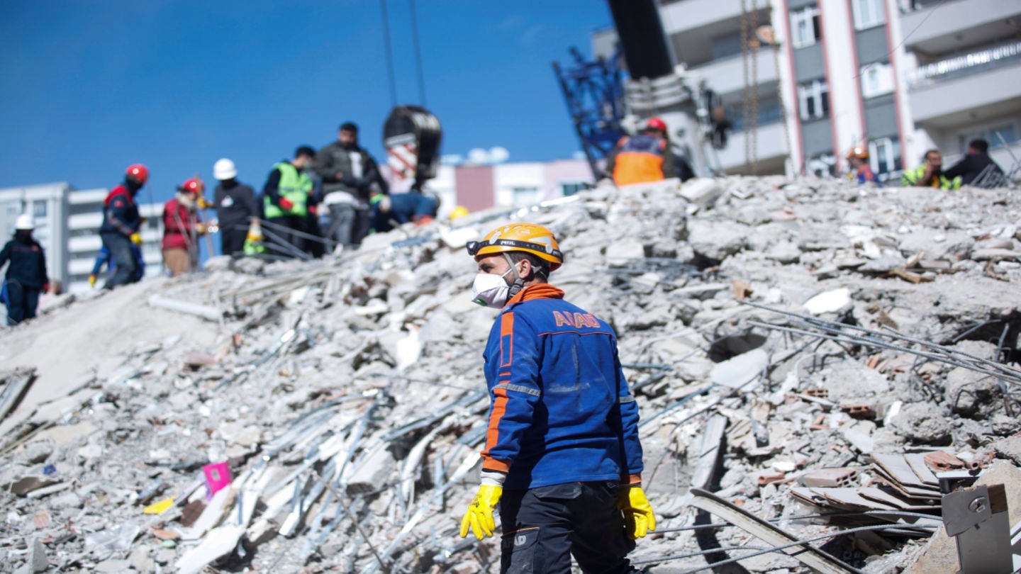
Countries from around the globe rushed to send humanitarian aid and rescue teams to the affected regions. More than 80 countries contributed to the rescue operation, with more than 7,000 personnel working to provide aid, undertake search and rescue work, and establish field hospitals.
The role of technology in responding to natural disasters
Drones are of significant importance during rescue operations following natural disasters as they allow officials to get an idea of the scale of the destruction with a birds-eye view of the area. Drone-mapping software then helps create 2D and 3D maps of the images captured by drones. They also support teams in search and rescue zones by identifying the safe and dangerous zones and determining the structural conditions of buildings. Spain and China, among others, provided Turkey with drone technology support. Light drones supplied by China were used during rescue operations at night as they have the ability to light up an area of 8,000 square meters.
Satellite mapping technology also provides significant benefits to rescue operations. Both the United Nations and the European Union activated their emergency satellite mapping service following the earthquake.
Alongside these, thermal image camera systems and carbon dioxide detectors have been of crucial importance to detect and locate any survivors under the rubble. This is done by analyzing areas of body heat and detecting life by looking at whether there is a higher concentration of CO2 in a particular area. NASA’s FINDER (Finding Individuals for Disaster Emergency Response) tool can detect heartbeats under 30 feet of rubble by using microwave radar sensors. The technology was sent by NASA to Turkey to aid rescue operations.
The use of social media in finding earthquake survivors
The aftermath of the earthquakes saw thousands of people flood to social media, in particular, Twitter, to reach out for help or search for missing family and friends. Many that were trapped under the rubble of their own homes posted their addresses or those of their loved ones in hopes that a rescue team would reach them in time.
Tech volunteers and software developers came together to create applications that would help find those in need and distribute aid as fast as possible to the right places.
For example, afetharita.com (which translates to ‘disaster map’ in Turkish) uses artificial intelligence technology to map the addresses posted on social media that require search and rescue operations. Furkan Kılıç and Eser Özvataf, two well-known engineers in the Turkish tech sector, established the ‘Earthquake Help Project’, mobilizing tech volunteers on Twitter and Discord channels to create open-source portals and applications that would collect information on those affected and deliver assistance.
The applications received widespread attention with over a hundred thousand visits. Kılıç stated that their aim “is to build systems that can work under any kind of load for NGOs and state institutions in the event of a possible disaster, which I hope we will never experience again and never need to use.”