
The UK government’s Geospatial Commission, in collaboration with The Alan Turing Institute, is exploring the integration of AI into decisions regarding land use.
The UK faces complex decisions regarding land use to achieve various policy objectives including economic growth, achieving net zero emissions, biodiversity conservation, and ensuring food and energy security.
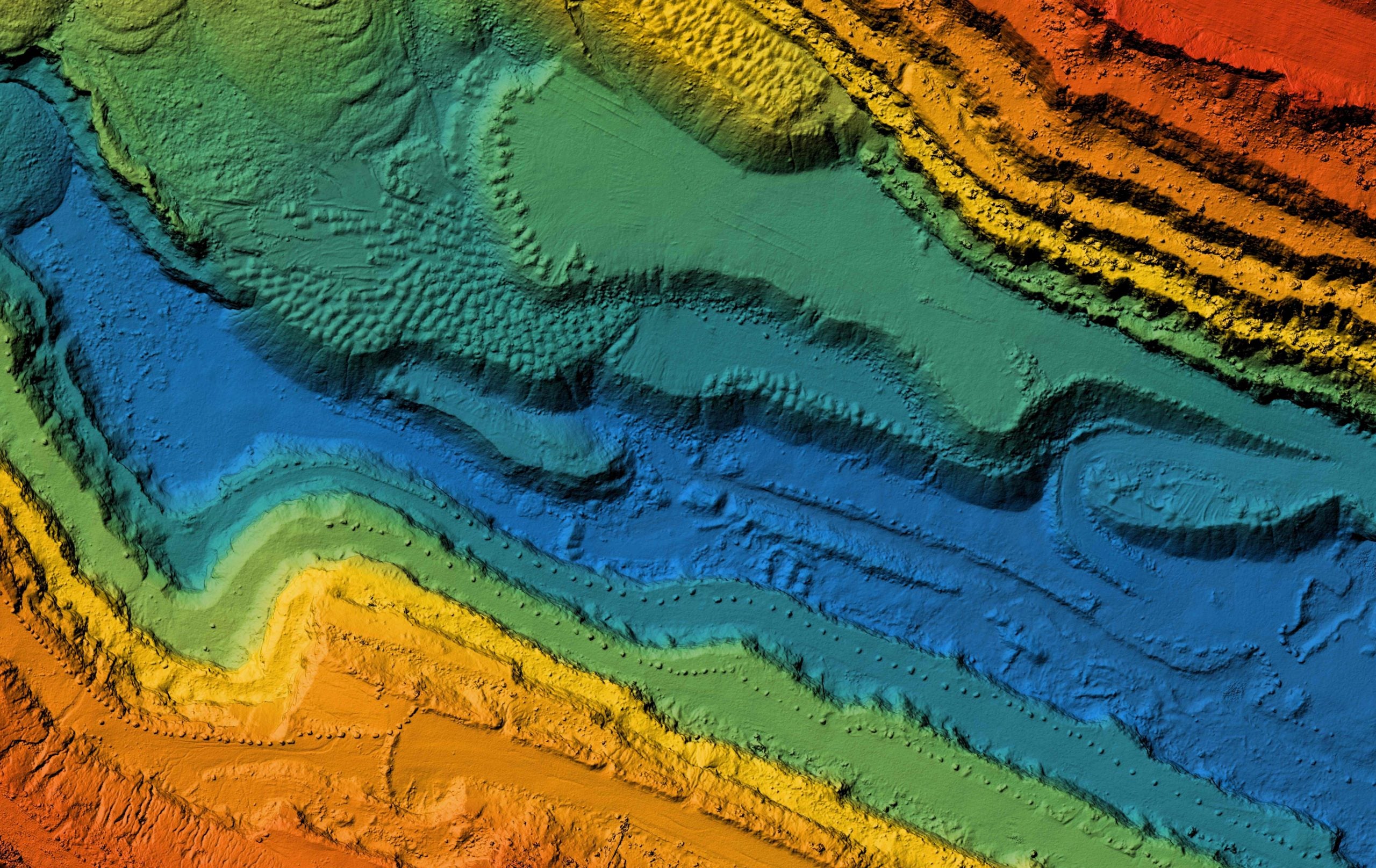
AI has the potential to streamline access to and interpretation of geospatial data, aiding decision-makers in understanding and visualising various scenarios related to land use changes.
The UK government has invested significantly in AI, with recent commitments including a £100m investment in The Alan Turing Institute to address national and international challenges, including those related to land use.
A demonstration of an AI-powered tool was showcased by The Turing Institute, illustrating its potential to assist local authority planners in making informed decisions about land use.
The collaboration between the Geospatial Commission and The Alan Turing Institute has led to the development of a prototype tool, which is now being further enhanced with national satellite data, vision foundation models, and a large language model approach for improved accuracy and accessibility.
The underlying model of the prototype tool will be made available for public download upon the conclusion of the project, making it accessible to non-technical users.
Go deeper with GlobalData


Access deeper industry intelligence
Experience unmatched clarity with a single platform that combines unique data, AI, and human expertise.