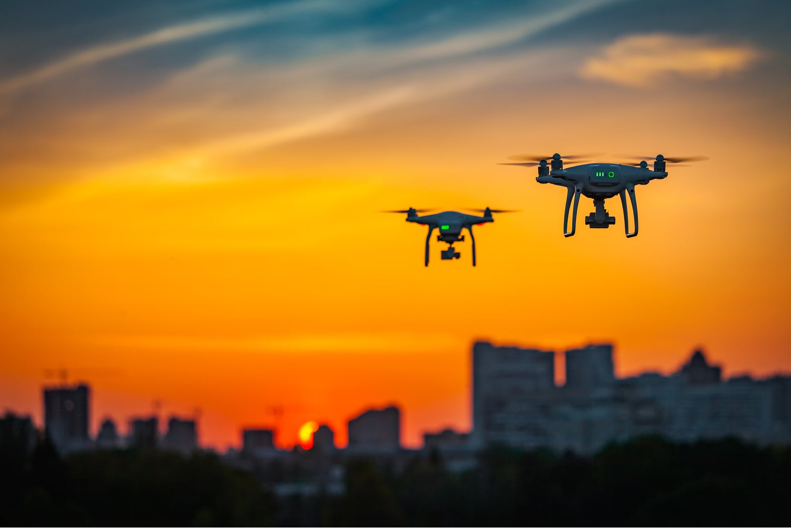
Best highlighted by the Gatwick Airport incident last year, which saw a rogue drone used to ground more than 1,000 flights over a two day period, drone technology often proves to be a nuisance, if not a security risk, for more traditional aircrafts.
However, defence company Raytheon has partnered with leading airspace intelligence platform AirMap in order to unlock the economic and social potential of drone technology without compromising the safety of other vehicles.
Go deeper with GlobalData


Access deeper industry intelligence
Experience unmatched clarity with a single platform that combines unique data, AI, and human expertise.
The strategic agreement will see the two companies collaborate on future projects designed to integrate unmanned aerial systems (UAS) such as drones into the United States’ national airspace system.
The two companies will bring together their expertise in air traffic control and drone tracking to usher in “a new era in drone aviation”, according to Matt Gilligan, vice president of Raytheon’s Intelligence, Information and Services division.
Raytheon’s air traffic control technology, the Standard Terminal Automation Replacement System (STARS), is currently used to oversee the landing and take-off of more than 40,000 flights across the US each day.
“Raytheon technology has helped safely and effectively manage airspace in the most complex, dense controlled airspace in the world for decades,” Ben Marcus, AirMap co-founder and chairman, said.
“They are an ideal partner to join AirMap on the path towards enabling safe, efficient, and scalable drone operations in the US low-altitude airspace between 0 and 400 feet.”
AirMap provides its 250,000 registered drone pilots with information on the use of air space and any restrictions and regulations. The company has so far handled more than 45,000 requests to fly drones in restricted zones.
Drone technology’s untapped potential
There is still potential for drone technology in most industries, but the potential economic and social benefits that it could provide in the retail sector makes it one of the most closely watched.
Amazon’s plans to deliver parcels using drones has been widely documented, and is close to becoming reality.
However, there are potential uses of drone technology in retail far beyond this, including monitoring security at warehouses and tracking criminals should a break in occur. Drones could also be used to deliver stock to stores when supplies are running low and monitoring traffic conditions around a store.
Drone taxis are also expected to be a common sight in our skies within the next decade, with companies like Uber working to make flying taxis a reality.
The company recently unveiled concept designs for its SkyPorts, vertical take-off and landing heliports which will serve as stations for those wishing to travel by drone, and in turn moved a step closer to delivering on its plans.